
VILLAGE GUIDE
Kasindra Village
Outside Dholera SIR
References: Village Map, Dholera Draft Development Plan. Images are illustrative.
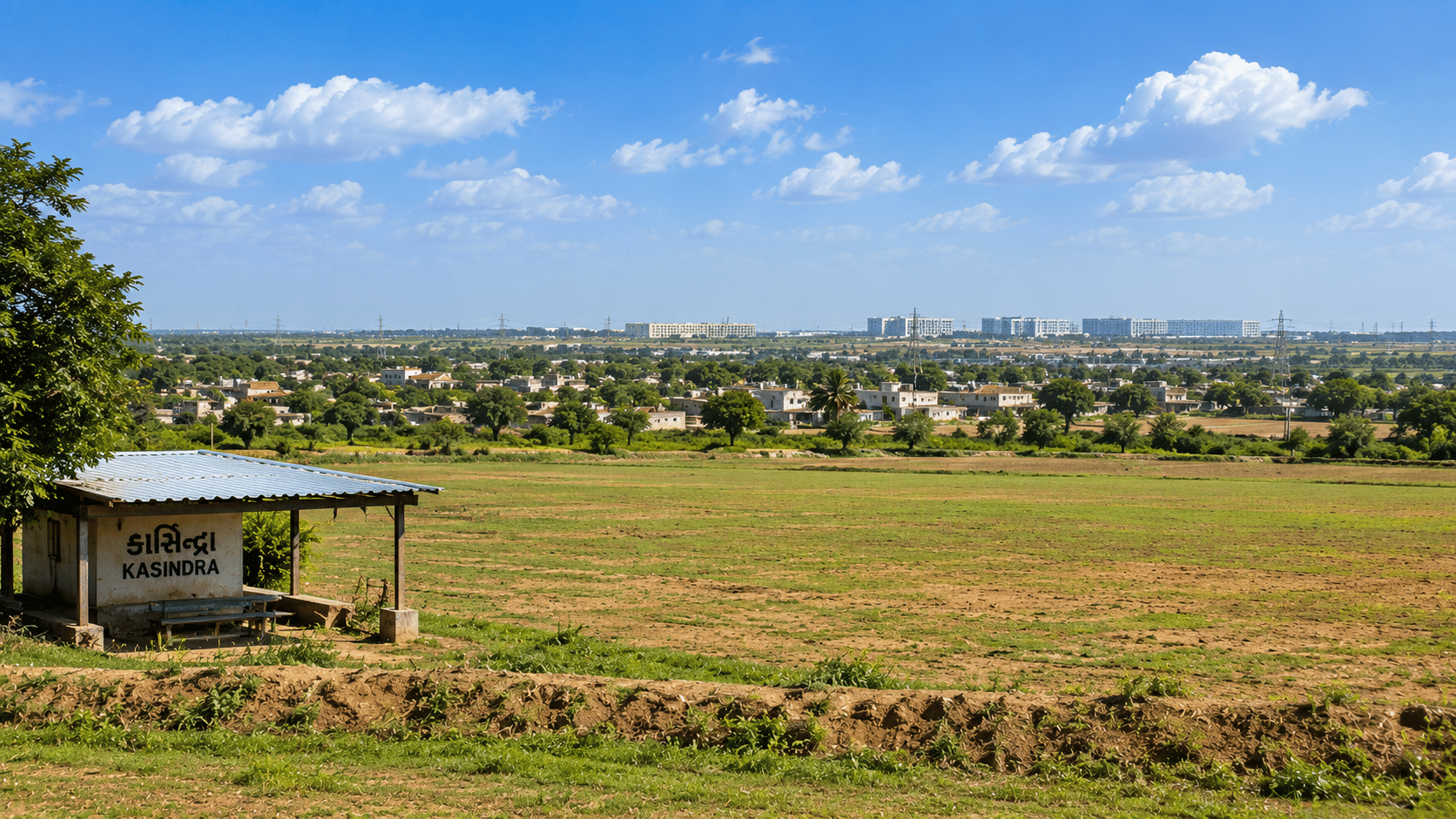
Table of Contents
✓ Suitable For
- Long-term land buyers comfortable with a still-developing, SIR-adjoining location
- Agricultural land buyers planning for eventual NA conversion
- Bulk-parcel buyers rather than single-plot residential buyers
- Buyers already comparing nearby Dholera-taluka villages (Kamatalav, Valinda, Gamph)
- Buyers prioritising boundary proximity over immediate road/rail access
✕ Not Ideal For
- Buyers wanting a residential-ready plot today
- Anyone assuming expressway or rail access exists at the village now
- Short-term flip buyers
- Buyers unwilling to travel ~105 km from Ahmedabad for a site visit
- NRI buyers expecting a fully remote purchase with no ground verification
About Kasindra
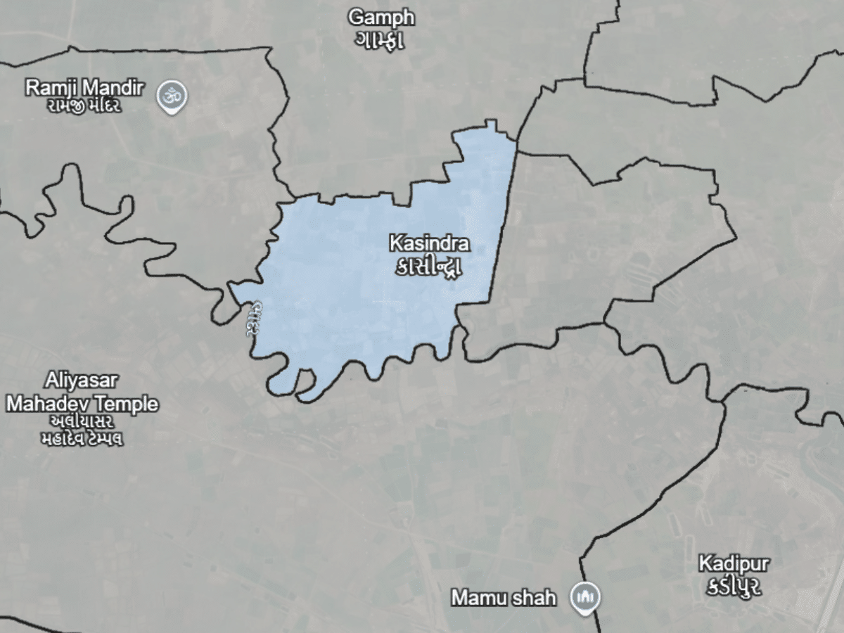
Kasindra sits in Dholera taluka, Ahmedabad district. If a seller’s paperwork says Dhandhuka, that isn’t necessarily an error — Dholera taluka was created out of villages of Dhandhuka and Dholka talukas, and Census 2011 still lists Kasindra under Dhandhuka. Current revenue records sit under Dholera. The village covers about 728.57 hectares (Census 2011, code 511907) and carries two spellings on the official DP map itself — “KASHINDRA” and “KASINDRA” — with Census records using Kasindra.
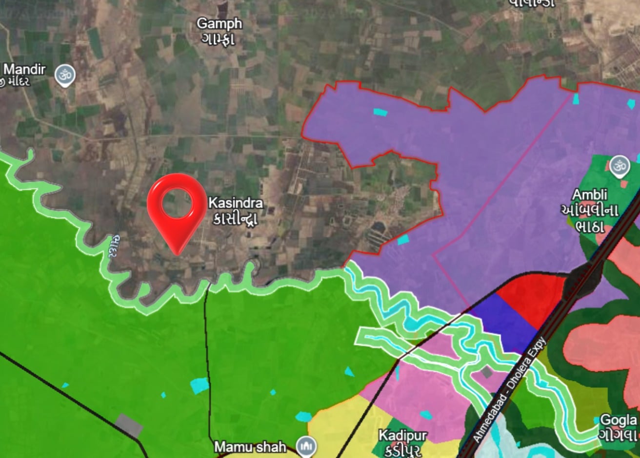
Among the 18 villages the DP map labels “Adjoining Village,” Kasindra’s measured SIR frontage of roughly 9.1 km places it mid-table — smaller than Kamatalav’s 23.45 km but larger than several villages further along the boundary. Land here trades mainly as agricultural holdings; NA-converted and plotted parcels exist but are less common than in villages closer to Dhandhuka town, about 20 km away.
Village Map (Survey / Revenue Map)
Land & Ownership Types
Buying Land Outside Dholera SIR
Kasindra falls under Dholera taluka, Ahmedabad district. Older extracts and some seller paperwork will still show Dhandhuka taluka — Dholera taluka was created out of villages of Dhandhuka and Dholka talukas, so that reflects the earlier position rather than a defect in the record. Always pull a fresh copy under Dholera taluka before you pay anything.
Revenue record verification runs through the Ahmedabad DILR (District Inspector of Land Records) office, and 7/12 and other land-record checks can be pulled via AnyROR for Ahmedabad district. Confirm which sub-registrar office currently has jurisdiction over Dholera taluka before you fix a registration date. As with any agricultural land purchase in Gujarat, buyer eligibility rules apply — confirm current eligibility and any required permissions before committing to a transaction.
- Clear Title & Documents
- Revenue Record Verification
- NA Conversion (if required)
- Registration at Sub-Registrar Office
Kasindra & Dholera SIR
Kasindra shares roughly 9.1 km of boundary with Dholera SIR, measured from the DSIRDA Draft Development Plan map (approximate — a nearest-label estimate, not a cadastral survey; see methodology note in DholeraProp’s internal village-data reference).
DholeraProp has not yet confirmed which specific zone sits directly opposite this stretch of boundary from a legible, high-resolution copy of the DP map — the version currently on file is a downsampled raster and village-level detail isn’t readable at that resolution. Treat any claim about the exact zone-opposite as unconfirmed until checked against a clearer map.
Distance Overview
- Ahmedabad city~105 km (by road)
- Dhandhuka town~20 km
- Dholera village~11 km (approx.)
Why People Buy Here
Risks & Considerations
- Kasindra's frontage figure (~9.1 km) is a map-based estimate, not a cadastral measurement — treat it as approximate when discussing a specific parcel's actual distance to the boundary.
- Most land in the village is still agricultural. Buyers should budget time and cost for NA conversion rather than assuming plotted, ready-to-build parcels are the default here.
- At roughly 105 km from Ahmedabad, Kasindra is farther from the city than several other adjoining villages (Kamatalav, Gamph, Valinda) — factor in travel time for site visits.
- No confirmed expressway interchange or rail station serves Kasindra directly today. Any future connectivity claim for this stretch should be checked against a dated primary source before it's repeated to a buyer.
Indicative Pricing
Why the difference? Plot rates include NA conversion, internal roads, demarcation and the smaller ticket size. Bulk land is the same land before that work is done.
Price depends on location, road access, connectivity, amenities and several other factors. Indicative as of August 2026. Contact us for current pricing.
Available in Kasindra
Explore land parcels and plots currently available here.
Frequently Asked Questions
Where is Kasindra village located?
Which taluka is Kasindra village in?
Is Kasindra inside Dholera SIR?
What kind of land is available in Kasindra?
Which office handles land records for Kasindra?
What does land cost in Kasindra?
Can I sell my land in Kasindra through DholeraProp?
Primary References
DSIRDA Draft Development Plan — village boundary and adjoining-village classification. Census of India 2011 — village area and code (511907). Village survey map — DholeraProp internal file, Kasindra.
Our experts are here to help you make the right decision.
Explore verified land & plot listings in Kasindra.
Use this checklist before finalising any purchase.
Information on this page is compiled from publicly available government documents and other verified sources. Please verify all details with the relevant authority. Read Full Disclaimer →
Own land in Kasindra?
DholeraProp deals in land here. If you are considering selling, talk to us about current demand and a fair valuation.