
VILLAGE GUIDE
Gorasu Village
Inside Dholera SIR
Last Reviewed: August 2026
·
References: Village Map, Dholera Draft Development Plan. Images are illustrative.
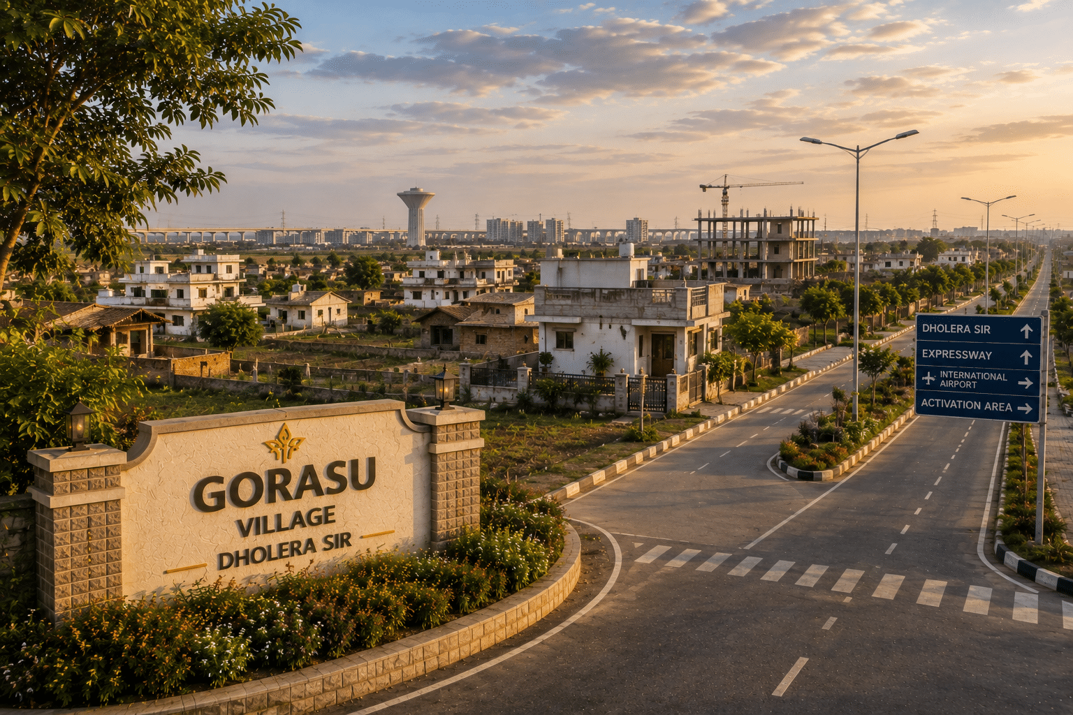
Table of Contents
✓ Suitable For
- Buyers who want a lower entry point through agricultural land rather than residential plots
- Buyers who want land in TP2 but outside the Activation Area
- Residential plot buyers looking at the SIR's core scheme
- Buyers who can confirm their own eligibility to hold agricultural land in Gujarat
- Buyers ready to confirm Final Plot status before treating land as construction-ready
✕ Not Ideal For
- Industrial and commercial buyers – neither is priced in this village
- Buyers who cannot meet Gujarat's eligibility rules for holding agricultural land
- Buyers who specifically want land inside the Activation Area
- Buyers who need a confirmed Final Plot number in hand before paying
- Buyers looking for income from the land in the near term
About Gorasu
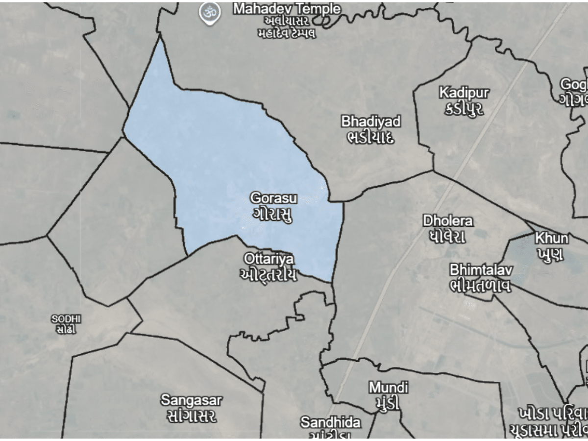
Gorasu is a village inside Dholera SIR, in Dholera taluka of Ahmedabad district, covering roughly 31.18 square kilometres. Its recorded population was 2,484 at the 2001 Census, the figure the Draft Development Plan works from, which puts it among the larger settlements of the 22 villages (DSIRDA Draft Development Plan, Appendix C, Table C-1).
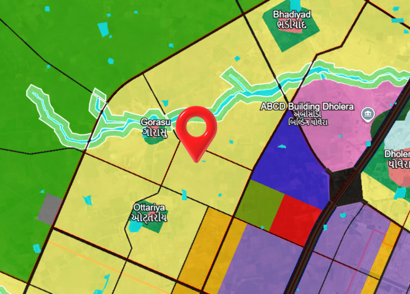
Gorasu’s land sits in TP Scheme 2, the SIR’s central scheme, and it is the second-largest contributor to it – about 11.36% of TP2’s total area comes from this village, behind only Dholera village at roughly 40%.
What makes this village different from most others in the SIR is what is on the price list. Agricultural parcels are still quoted separately here, at a band well below residential land. That is a genuinely lower entry point, but it comes with a condition most buyers underestimate: Gujarat has its own rules on who is eligible to hold agricultural land, and they apply regardless of what the seller says.
Gorasu sits outside the Activation Area – the TP-2A and TP-4A area where development is already on the ground.
Village Map (Survey / Revenue Map)
TP Scheme & Land Status
Buying Land Inside Dholera SIR
If you are looking at an agricultural parcel here, settle the eligibility question first, before price. Gujarat restricts who may buy and hold agricultural land, and a purchase that cannot be registered in your name is not a bargain at any rate. Take that question to a lawyer rather than to the seller.
For the land record itself, use AnyROR: Ahmedabad district, Dholera taluka, village code 055. If you have seen Gorasu listed under Dhandhuka taluka, that comes from Census 2011 and older village directories, and it is not where the live record sits.
After that, the usual: which sub-scheme of TP2 the parcel falls in and at what stage, then the Final Plot (FP) number, the DSIRDA NOC and confirmation of NA clearance. A survey number on its own tells you where the land is, not what stage it has reached.
- Confirm TP Scheme & Stage
- Verify Final Plot (FP) Number
- Check DSIRDA NOC
- Confirm NA Clearance Status
Gorasu Within Dholera SIR
Gorasu contributes about 11.36% of TP Scheme 2’s total area, the second-largest share in the scheme. TP2 draws land from ten villages in all – Dholera village at roughly 40%, then Gorasu, Rahtalav and Khun, with Bhadiyad, Otariya, Bhimtalav, Kadipur, Sandhida and Mundi making up the rest.
Note what that percentage does and does not say. It describes how much of TP2 is made up of Gorasu land – not what proportion of Gorasu village sits inside TP2. Those are different questions, and the second one needs the individual TP scheme documents to answer properly.
The Activation Area covers the TP-2A and TP-4A scheme areas, and Gorasu sits outside it. Being in TP2 and being in the Activation Area are not the same thing, and a parcel described only as “TP2 land” tells you nothing about which side of that line it falls on.
These percentages are reported from secondary sources and should be confirmed against official DSIRDA-sanctioned scheme documents.
Distance Overview
- Activation Areaoutside
- Ahmedabad~107 km
Why People Buy Here
Risks & Considerations
- Agricultural land in Gujarat carries its own eligibility rules on who may buy and hold it – confirm your own position with a lawyer before committing to an agricultural parcel here. This page is an explanation, not legal advice
- For the land record itself, use AnyROR: Ahmedabad district, Dholera taluka, village code 055. Census 2011 and most online village directories still file Gorasu under Dhandhuka taluka, which reflects the position before Dholera taluka was formed
- The 11.36% TP2 share is reported from a secondary source, not a DSIRDA document seen directly – treat it as reported, not confirmed
- Land inside the SIR does not automatically carry NA clearance or a Final Plot number – confirm TP reconstitution status before treating a parcel as ready to build on
- The Development Plan and the GDCR that govern this land both carry "Draft" in their titles – zone boundaries and regulations can still change
Indicative Pricing
Indicative as of August 2026. Rates vary within each zone by TP scheme stage, road access and Final Plot status. Contact us for current pricing.
Available in Gorasu
Explore land parcels and plots currently available here.
Frequently Asked Questions
Is Gorasu inside Dholera SIR?
Which TP scheme is Gorasu in?
Can I buy agricultural land in Gorasu?
What is the land price in Gorasu?
Is Gorasu in the Activation Area?
How big is Gorasu?
Primary References
Dholera SIR Draft Development Plan — DSIRDA · Draft Development Plan, Appendix C, Table C-1 — village population · Town Planning Scheme 2 records — DSIRDA · Village directory — Census of India 2011
Our experts are here to help you make the right decision.
Use this checklist before finalising any purchase.
Information on this page is compiled from publicly available government documents and other verified sources. Please verify all details with the relevant authority. Read Full Disclaimer →
Own land in Gorasu?
DholeraProp deals in land here. If you are considering selling, talk to us about current demand and a fair valuation.